

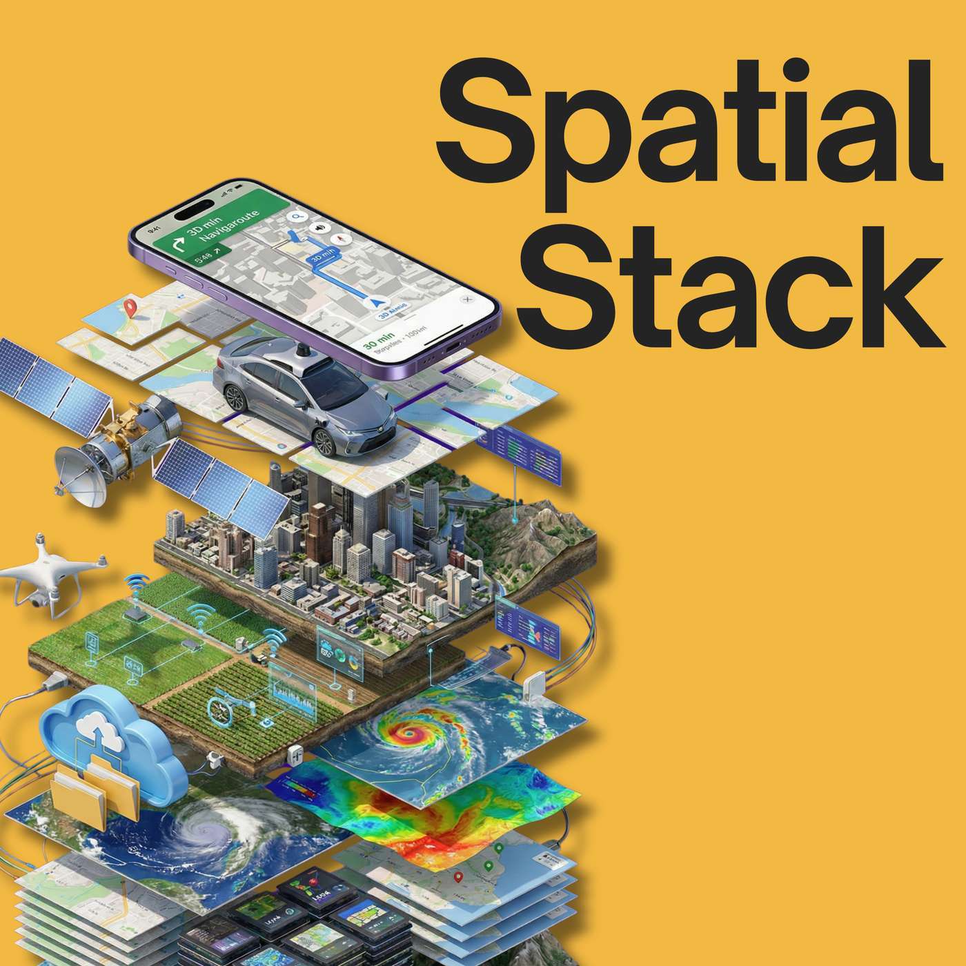
 Spatial Stack with Matt Forrest
#40: The "GPT Moment" for Earth: Moving from Computer Vision to Large Earth Models
59:50
We have never had more data about our planet: petabytes of satellite imagery, aerial photos, and sensor readings collected daily. Yet, turning that massive volume of "noise" into a clear signal remains the fundamental challenge of the geospatial industry.
In this episode of the Spatial Stack, I sit down with the engineering and product minds from Wherobots: Ryan, Phil, and Len - to tear down…