

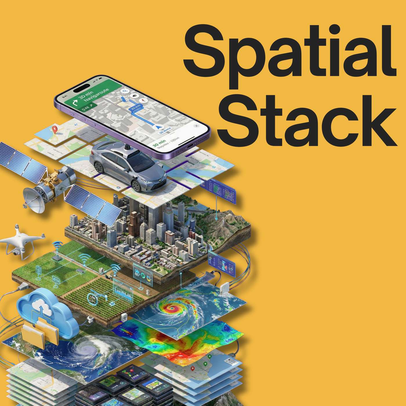
 Spatial Stack with Matt Forrest
#36: Why Flood Risk Data Exists (But Isn’t Easy to Access) with Kevin Bullock
46:41
We have an incredible amount of public geospatial data—high-resolution elevation, weather forecasts, floodplain maps, real-time sensors—yet most people still can’t easily answer a simple question:
“What’s my flood risk right here, right now?”
In this episode, I’m joined by Kevin Bullock, an aerospace engineer and remote sensing expert at Development Seed, to talk about how he turned years of…